- Continue Shopping
- Your Cart is Empty
Call 800-594-9346 Mon-Fri 8-5 or Saturday 9-2 with any questions or to order by phone. Sign up here to receive special offers to your email address.
NEW - BEST PRICE QUOTE REQUEST IN CART !
#27131 SOUTH AMERICA WALL MAP 24 X 30
$ 27.40
This classic map of South America shows political boundaries, place-names, airports, major roads and highways, and other geographic features for the entire continent. Avg Ship time 1-2 days
Related Items
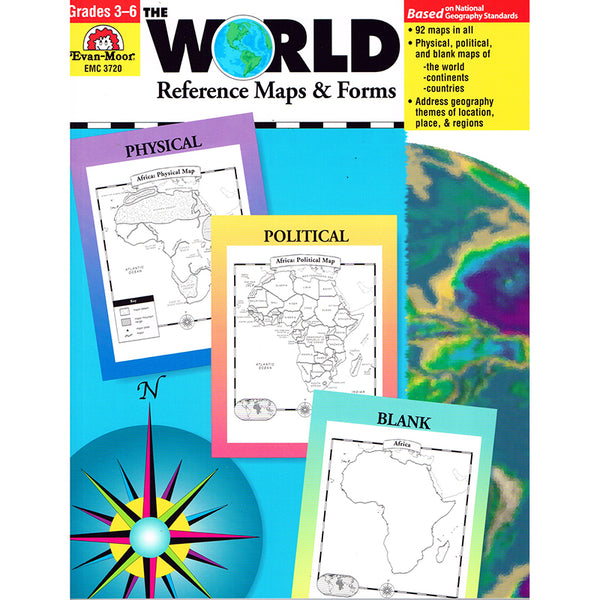
#16996 THE WORLD REFERENCE MAPS & FORMS GR 3-6
$ 21.90
An updated and expanded version of The World Blank map Forms. You get 92 maps in all, including physical maps, political maps, and blank maps for students to fill out. Just a few of the maps included are of the world, individual continents, Canada, United States, Mexico, and U.S. regions. Also included are evaluation forms, a crossword puzzle, a word search, and an answer key. 112 pages. Avg Ship time 1-2 days
#20612 WORLD LAMINATED MAP 50 X 33
$ 36.10
Map Features: Colored Countries, includes national capitols, major cities, rivers, time zones, and major peak elevations. Heavy lamination will last for a year. Wipes clean with damp cloth. Includes water soluble marker. Ideal for use in classrooms, shipping departments, and offices. Printed on 100% post-consumer recycled paper with soy ink. Made in the USA. Avg Ship time 1-2 days
#20613 WORLD LAMINATED MAP 38 X 25
$ 26.40
Map Features: Colored Countries, includes national capitols, major cities, rivers, time zones, and major peak elevations. Heavy lamination will last for a year. Wipes clean with damp cloth. Includes water soluble marker. Ideal for use in classrooms, shipping departments, and offices. Printed on 100% post-consumer recycled paper with soy ink. Made in the USA. Avg Ship time 1-2 days


